

Atlas catalan de 1375
- Date
- 1375
- Place
- the Mediterranean Sea
- Archive
- Wikimedia Commons
- Type
- atlas page
- Original size
- 12,631 × 15,712 pixels
Public domain
Reason: it is old enough that its unknown maker is presumed to have died more than 70 years ago.
This status rests on the map's publication history, as researched by Wikimedia Commons. Check it before commercial use.
Read from: Commons licence category: PD Old (assumed); no CC BY, CC BY-SA, GFDL or deletion tag on the file page.
Credit line
"Atlas catalan de 1375" (1375). Wikimedia Commons. Public domain. https://commons.wikimedia.org/wiki/File:Atlas_catalan_de_1375_01_(FL169300244_0982468).jpgNeed maps for a whole project? Add Find Any Map to Claude and ask for this one by its id: 137423.
More like this

Carte marine de l'océan Atlantique Nord-Est, de la mer Méditerranée, de la mer Noire et de la mer Rouge
Wikimedia Commons
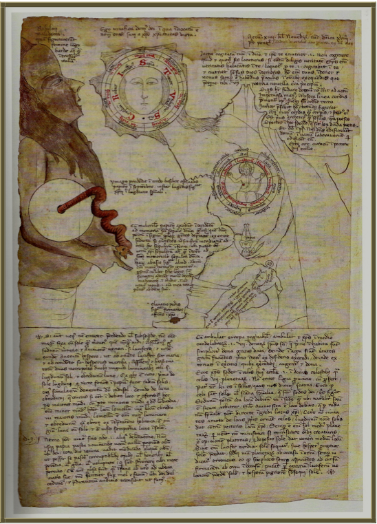
Biblioteca Apostolica Vatican, Vat. Lat. 6435 folio 74v, 1335-1338
1335–1338 · Opicinus de Canistris

Gabriel Vallseca. Museo Marítimo, Barcelona.1439
1439 · Wikimedia Commons

Mecia de Viladestes. Carte marine de l'océan Atlantique Nord-Est, de la mer Méditerranée, de la mer Noire, de la mer Rouge. 1413
1413 · Wikimedia Commons

Nautical Chart of the Mediterranean Basin
1553–1559 · Wikimedia Commons

14th century Portolan chart of the Mediterranean and the Black Sea
Library of Congress

Portolan chart of the Mediterranean Sea ca. 1320-1350 - manuscript chart of the Mediterranean and Black seas on vellum.
1320 · Library of Congress

1413 Portolan chart by Mecia de Viladestes - Carte marine de l'océan Atlantique Nord-Est, de la mer Méditerranée, de la mer Noire, de la mer Rouge, d'une partie de la mer Caspienne, du golfe Persique et de la mer Baltique
1413 · Wikimedia Commons