

Arizona-New Mexico.
Annual. Scale ca. 1:1,362,240; 1 in. equals approx 21.5 miles. Printed on both sides of sheet. Relief shown pictorially and by shading and spot heights on some sheets. Includes indexes, text, distance diagram, and maps on some sheets. All issues received in LC after 2011 cataloged separately. Some previous issues also cataloged separately in LC. AACR2
- Date
- 1919
- Mapmaker / publisher
- American Automobile Association
- Place
- Arizona
- Scale
- 1:1,362,240
- Archive
- Library of Congress (via Wikimedia Commons)
- Type
- map
- Original size
- 9,560 × 5,650 pixels
Public domainsafest
Reason: its maker died more than 80 years ago.
Read from: Commons licence category: PD-old-80-expired; no CC BY, CC BY-SA, GFDL or deletion tag on the file page.
Credit line
"Arizona-New Mexico." (1919). American Automobile Association. Library of Congress, Geography and Map Division, via Wikimedia Commons. Public domain. https://commons.wikimedia.org/wiki/File:Arizona-New_Mexico._LOC_73693046.jpgNeed maps for a whole project? Add Find Any Map to Claude and ask for this one by its id: 7951.
More like this

South Rim, Grand Canyon National Park, Arizona.
1976 · Library of Congress
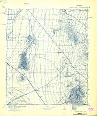
Newman Peak, Arizona: USGS topographic map, 1:125,000 (1934)
1934 · USGS Historical Topographic Map Collection
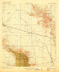
San Simon, Arizona: USGS topographic map, 1:125,000 (1917)
1917 · 3 editions
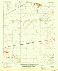
Aztec, Arizona: USGS topographic map, 1:62,500 (1929–1950)
1929–1950 · 3 editions
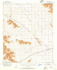
Mobile, Arizona: USGS topographic map, 1:62,500 (1951)
1951 · 3 editions
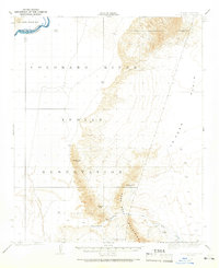
Moon Mtn, Arizona: USGS topographic map, 1:62,500 (1931–1932)
1931–1932 · 4 editions
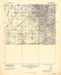
McDonald, Arizona: USGS topographic map, 1:62,500 (1922)
1922 · USGS Historical Topographic Map Collection
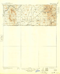
Perilla, Arizona: USGS topographic map, 1:125,000 (1919)
1919 · 4 editions