

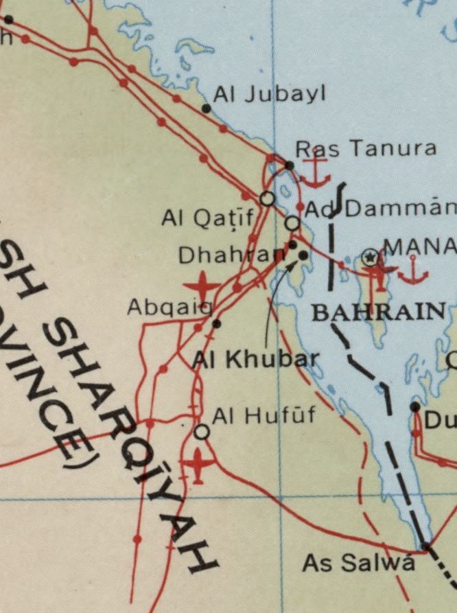
Arab states (excluding Egypt), tribes and administrative divisions
Shows names of tribes and boundary of administrative divisions. Also shows cultivated areas. Base: The Near East: oil concessions and facilities. "U.S. GPO-S." "10828." Blank sheet to left of map with punched holes.
- Date
- 1947
- Mapmaker / publisher
- United States. Central Intelligence Agency. Map Branch
- Place
- Asia
- Archive
- Library of Congress (via Wikimedia Commons)
- Type
- map
- Original size
- 5,634 × 6,072 pixels
Public domain
Reason: a US government work (Central Intelligence Agency).
This status rests on the map's publication history, as researched by Wikimedia Commons. Check it before commercial use.
Read from: Commons licence category: PD CIA; no CC BY, CC BY-SA, GFDL or deletion tag on the file page.
Credit line
"Arab states (excluding Egypt), tribes and administrative divisions" (1947). United States. Central Intelligence Agency. Map Branch. Library of Congress, Geography and Map Division, via Wikimedia Commons. Public domain. https://commons.wikimedia.org/wiki/File:Arab_states_(excluding_Egypt),_tribes_and_administrative_divisions_LOC_2001620692.jpgNeed maps for a whole project? Add Find Any Map to Claude and ask for this one by its id: 7944.
More like this

Airlines of the Eastern Mediterranean and adjacent areas - As of October, 1947
1948 · Library of Congress

Shows international boundaries, major cities, and rivers. "11885 5-51." "The international boundaries shown on this map do not necessarily correspond in all cases the boundaries recognized by U. S. Go
1951 · Library of Congress

Arabian Peninsula. 12-69.
1969 · Library of Congress

China, administrative areas 1948
1948 · Library of Congress

Arabian Peninsula. 11-64.
1964 · Library of Congress

(Map showing neutral zones between Saudi Arabia and Iraq and between Saudi Arabia and Kuwait).
1991 · Library of Congress

Middle East oil and gas.
2007 · Library of Congress
Scale 1:6,075,000. "887748444." AACR2
1969 · Library of Congress