

Antilles (L'Amérique latine)
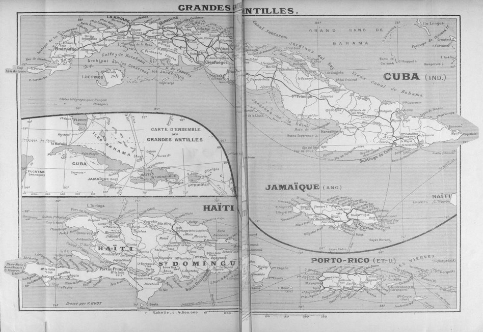
Map of the Caribbean, featured in a 1892 book called L'Amérique latine, avec un exposé préliminaire des relations. du commerce français dans cette contrée
- Date
- 1892
- Mapmaker / publisher
- Henri Avenel
- Place
- Central America
- Archive
- Wikimedia Commons
- Type
- map
- Original size
- 2,827 × 2,314 pixels
CC0safest
Reason: CC0: dedicated to the public domain.
Read from: Commons licence category: CC-Zero; no CC BY, CC BY-SA, GFDL or deletion tag on the file page.
Credit line
"Antilles (L'Amérique latine)" (1892). Henri Avenel, via Wikimedia Commons. CC0. https://commons.wikimedia.org/wiki/File:Antilles_(L%27Am%C3%A9rique_latine).jpgNeed maps for a whole project? Add Find Any Map to Claude and ask for this one by its id: 295840.
More like this

Brockhaus-Efron Antilskiye ostrova
1890–1907 · Wikimedia Commons

Map of West Indies and Central America
1888 · Wikimedia Commons

View this map on the BL Georeferencer service. Image taken from
Wikimedia Commons

Antillas
1916 · Wikimedia Commons

Stielers Handatlas 1891 82
1891 · Wikimedia Commons

This map of the West Indies was produced by Rand McNally and Co. as part of its Commercial Atlas of America. The detail shown on each map is exceptional because of the map size. These maps were intend
1922 · Wikimedia Commons

Les isles Antilles
1679 · Plate 1 of 2
Les Grandes Antilles, 1909
1900s · Wikimedia Commons