

Andong and Shingishu map circa 1930
Andong(Dandong) and Shingishu(Sinuiju) map circa 1930
- Date
- c. 1930
- Place
- Dandong
- Archive
- Wikimedia Commons
- Type
- map
- Original size
- 930 × 1,096 pixels
Public domain
Reason: published outside the US before 1996 and already public domain in its home country then.
This status rests on the map's publication history, as researched by Wikimedia Commons. Check it before commercial use.
Read from: Commons licence category: PD-1996 (with a reason); no CC BY, CC BY-SA, GFDL or deletion tag on the file page.
Credit line
"Andong and Shingishu map circa 1930" (c. 1930). Wikimedia Commons. Public domain. https://commons.wikimedia.org/wiki/File:Andong_and_Shingishu_map_circa_1930.PNGNeed maps for a whole project? Add Find Any Map to Claude and ask for this one by its id: 23594.
More like this

Hsinkin Rail 1932
1932 · Library of Congress

Map of Chosen
1929 · Wikimedia Commons

Takao map circa 1930
c. 1930 · Wikimedia Commons

Battle of the Amur River 1945
September 30, 1954 · Wikimedia Commons

Map from the International Map of the World 1:1,000,000 (from map: "DELINEATION OF INTERNATIONAL BOUNDARIES MUST NOT BE CONSIDERED AUTHORITATIVE")
Wikimedia Commons

Hankou 1930
1930 · Wikimedia Commons
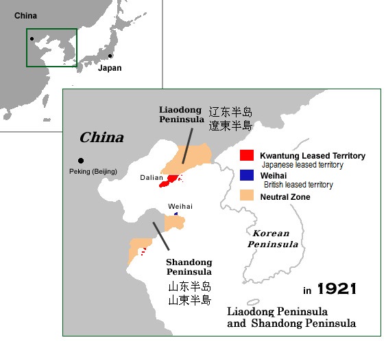
Kwantung territory China 1921
December 30, 2006 · Wikimedia Commons

奉天名所图绘
June 21, 1930 · Wikimedia Commons