

Alberta During the Territorial Period
(1870-1905) Adapted from Alberta:A New History By Palmer and Palmer
- Date
- 1905
- Mapmaker / publisher
- Palmer and Palmer
- Place
- Canada
- Archive
- Wikimedia Commons
- Type
- map
- Original size
- 442 × 457 pixels
Public domain
Reason: public domain: Canada.
This status rests on the map's publication history, as researched by Wikimedia Commons. Check it before commercial use.
Read from: Commons licence category: PD Canada; no CC BY, CC BY-SA, GFDL or deletion tag on the file page.
Credit line
"Alberta During the Territorial Period" (1905). Palmer and Palmer, via Wikimedia Commons. Public domain. https://commons.wikimedia.org/wiki/File:Alberta_During_the_Territorial_Period.jpgNeed maps for a whole project? Add Find Any Map to Claude and ask for this one by its id: 294079.
More like this

North-West Territory, Canada
1894 · Wikimedia Commons

Detail of 1902 Dowling Map showing Lake Athapapuskow and Pineroot River
1902 · Wikimedia Commons

Departement of the Interior. A preliminary topographical Map of a portion of the Foothills region from photographic and micrometer surveys by Division B Canadian irrigation Surveys 1895-6 A. O. Whecler,. in charge
1895 · Wikimedia Commons

1891 map of the Yukon, western NWT, northern BC, northern Alberta
1891 · Wikimedia Commons

Western Canada, Washington, Montana, and Washington 1925 Air Routes
1925 · Wikimedia Commons

Route of the Expedition from Isle a la Crosse to Fort Providence in 1819 & 20
1823 · Wikimedia Commons

Assiboine River Canada Fur Trading Posts
Wikimedia Commons
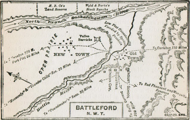
Map of Battleford 1885
1885 · Wikimedia Commons