

Air Map
- Date
- 1915
- Place
- Essen
- Archive
- U.S. National Archives (via Wikimedia Commons)
- Type
- map
- Original size
- 3,616 × 3,627 pixels
Public domainsafest
Reason: a US government work (US Military).
Read from: Commons licence category: PD US Military; no CC BY, CC BY-SA, GFDL or deletion tag on the file page.
Credit line
"Air Map" (1915). U.S. National Archives, via Wikimedia Commons. Public domain. https://commons.wikimedia.org/wiki/File:Air_Map_-_NARA_-_6997141_(page_1).jpgNeed maps for a whole project? Add Find Any Map to Claude and ask for this one by its id: 23130.
More like this

Air Map
1916 · U.S. National Archives

Arras front, 1915
1915 · Wikimedia Commons

Map of fighting around Liege, 1914
1914 · Wikimedia Commons

Arras, Lens and Bethune, 1915
1915 · Wikimedia Commons

WWI map from the collections of the National Library of Wales
2 sheets

Dixmude and environs, 1914
1914 · Wikimedia Commons

War map of Central Europe
Wikimedia Commons
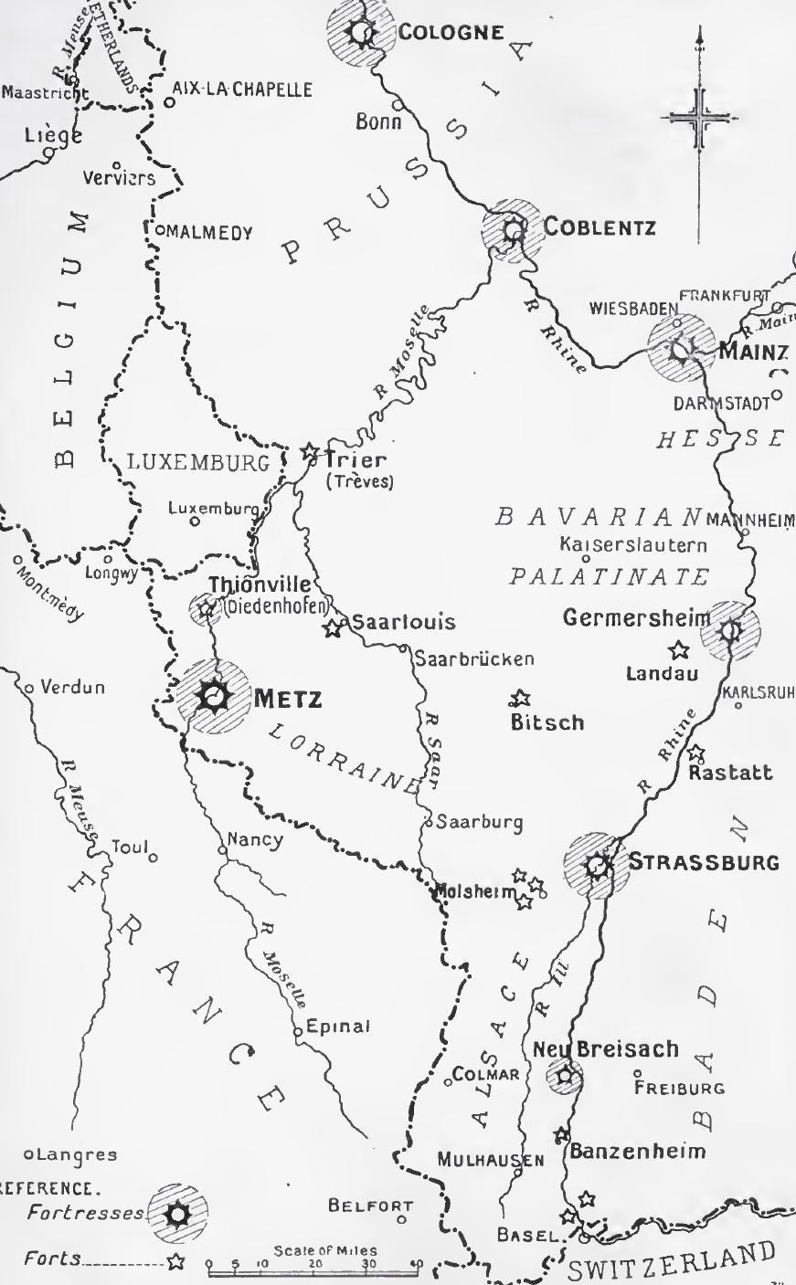
Rhine frontier fortifications, 1914
1914 · Wikimedia Commons