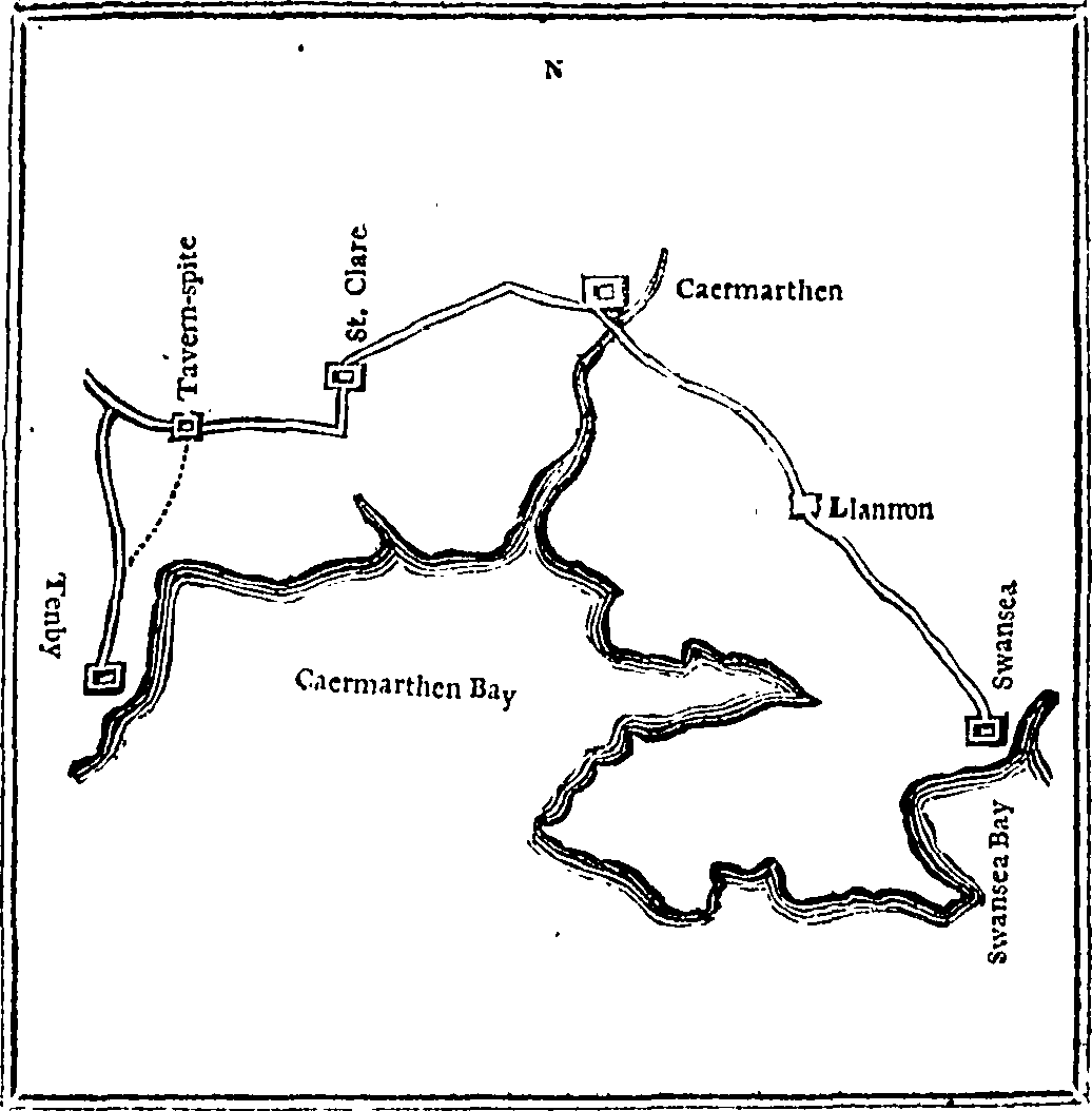

A second walk through Wales, by the Revd. Richard Warner, of Bath, in August and September 1798. Fleuron T092269-24
Fleuron from book:A second walk through Wales, by the Revd. Richard Warner, of Bath, in August and September 1798.
- Date
- 1799
- Mapmaker / publisher
- Warner, Richard
- Place
- Wales
- Archive
- Wikimedia Commons
- Type
- map
- Original size
- 1,036 × 1,054 pixels
Public domainsafest
Reason: its maker died more than 100 years ago.
Read from: Commons licence category: PD-old-100-expired; no CC BY, CC BY-SA, GFDL or deletion tag on the file page; permission field: Fleuron A Database of Eighteenth-Century Printers' Ornaments..
Credit line
"A second walk through Wales, by the Revd. Richard Warner, of Bath, in August and September 1798. Fleuron T092269-24" (1799). Warner, Richard, via Wikimedia Commons. Public domain. https://commons.wikimedia.org/wiki/File:A_second_walk_through_Wales,_by_the_Revd._Richard_Warner,_of_Bath,_in_August_and_September_1798._Fleuron_T092269-24.pngNeed maps for a whole project? Add Find Any Map to Claude and ask for this one by its id: 244763.
More like this

The new Fleuron T088712-3
1791 · Wikimedia Commons

The new British traveller; or Fleuron N020364-9
1784 · Wikimedia Commons

Memoir of a map of Ireland; illustrating the topography of that Kingdom Fleuron T144852-1
1792 · Wikimedia Commons

The history of Limerick, ecclesiastical, civil and military, from the earliest records, to the year 1787, illustrated by fifteen engravings Fleuron T077045-3
1787 · Wikimedia Commons

The history of Limerick, ecclesiastical, civil and military, from the earliest records, to the year 1787, illustrated by fifteen engravings Fleuron T077045-4
1787 · Wikimedia Commons

London and Westminster improved, illustrated by plans Fleuron T138431-14
1766 · Wikimedia Commons

London and Westminster improved, illustrated by plans Fleuron T138431-7
1766 · Wikimedia Commons

London and Westminster improved, illustrated by plans Fleuron T138431-3
1766 · Wikimedia Commons