

1950 Census Enumeration District Maps - Virgin Islands - Charlotte Amalie - ED 2-6/17
- Date
- 1880–1990
- Place
- Saint Thomas, United States Virgin Islands
- Archive
- U.S. National Archives (via Wikimedia Commons)
- Type
- map
- Original size
- 17,408 × 11,167 pixels
Public domainsafest
Reason: public domain: US Census.
Read from: Commons licence category: PD US Census; no CC BY, CC BY-SA, GFDL or deletion tag on the file page.
Credit line
"1950 Census Enumeration District Maps - Virgin Islands - Charlotte Amalie - ED 2-6/17" (1880–1990). U.S. National Archives, via Wikimedia Commons. Public domain. https://commons.wikimedia.org/wiki/File:1950_Census_Enumeration_District_Maps_-_Virgin_Islands_-_Charlotte_Amalie_-_ED_2-6-17_-_NARA_-_75639633.jpgNeed maps for a whole project? Add Find Any Map to Claude and ask for this one by its id: 296348.
More like this

Map of St Thomas Havn, Dansk Vestindien
Wikimedia Commons

IMRAY(1884) p0225 VIRGIN ISLANDS, ST. THOMAS
1884 · Wikimedia Commons

Plano geométrico del puerto principal de San Tomas en la costa meridional de la ya. del mismo nombre; Plano geométrico del puerto de Normand en la costa N.O. de la ya. del mismo nombre
1793 · Library of Congress
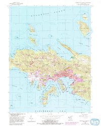
Central St. Thomas, U.S. Virgin Islands: USGS topographic map, 1:24,000 (1955)
1955 · 5 editions
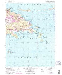
Eastern St. Thomas, U.S. Virgin Islands: USGS topographic map, 1:24,000 (1954)
1954 · 4 editions

Saint Vincent, particulars of two valuable Sugar Estates - called Waterloo and Orange Hill, situate in the Parish of Charlotte, in the Island of St. Vincent, containing 610 acres, or thereabouts
1864 · Saint Vincent and the Grenadines

Honolulu and vicinity
1887 · Library of Congress

Dominican Republic - Haiti border map part 2
May 23, 1961 · Wikimedia Commons