

1941 Chungpu earthquake intensity map
- Date
- March 30, 1942
- Mapmaker / publisher
- 臺北觀測所
- Place
- Taiwan under Japanese rule
- Archive
- Wikimedia Commons
- Type
- map
- Original size
- 1,345 × 1,929 pixels
CC0safest
Reason: CC0: dedicated to the public domain.
Read from: Commons licence category: CC-Zero; no CC BY, CC BY-SA, GFDL or deletion tag on the file page.
Credit line
"1941 Chungpu earthquake intensity map" (March 30, 1942). 臺北觀測所, via Wikimedia Commons. CC0. https://commons.wikimedia.org/wiki/File:1941_Chungpu_earthquake_intensity_map.pngNeed maps for a whole project? Add Find Any Map to Claude and ask for this one by its id: 23793.
More like this

1935 Hsinchu-Taichung earthquake location map
June 15, 1935 · Wikimedia Commons

Map of Greater East Asia Co-Prosperity Sphere 1941
1941 · Wikimedia Commons
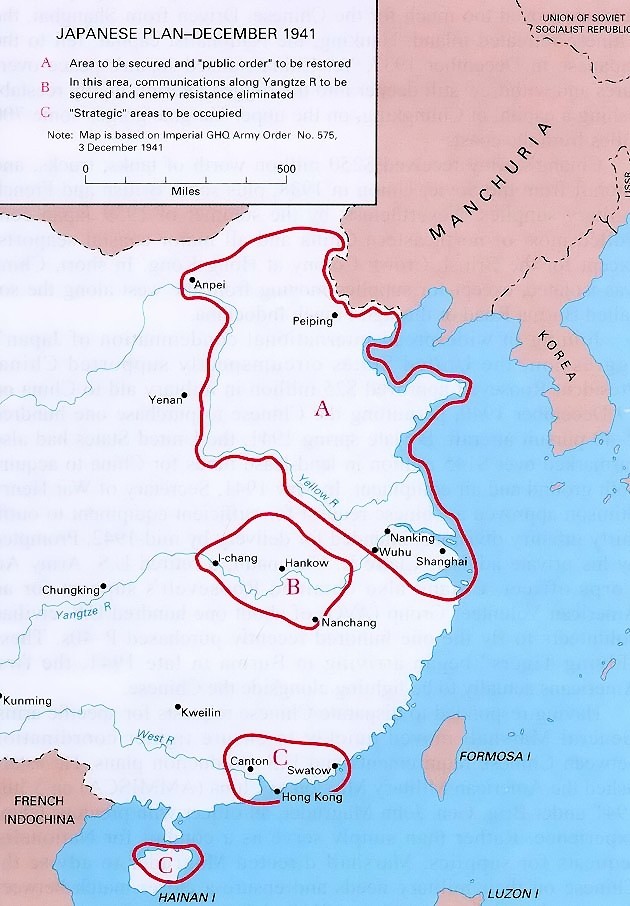
Japanese plan for china - December 1941
1941 · Wikimedia Commons

臺灣在籍漢民族鄉貫別分布圖
1945 · Wikimedia Commons

1945年32萬在臺日僑分布圖 Japanese citizens in Taiwan
1945 · Wikimedia Commons

Railway map Japanese Taiwan
1945 · Wikimedia Commons

Japan's bombing sphere, 1942
February 9, 1942 · Wikimedia Commons

Taiwan administrative divisions
1951 · Library of Congress