

خريطة عثمانية لقبائل جنوب غرب الجزيرة العربية - آل سعد بللسمر
Detail of an Ottoman map of south-western Arabia (Asir and Tihama), labelled in Ottoman Turkish in Arabic script (e.g. "Qahtan kabilesi"), showing tribal territories, mountains, wadis and markets between Al Qunfudhah and Jizan on the Red Sea coast. The name "Āl Saʿd" (of Balʿadhmah, Billasmar) is highlighted in yellow; the highlight was added later and is not part of the original map.
- Date
- 1919
- Mapmaker / publisher
- Ottoman cartographers (anonymous)
- Place
- Saudi Arabia
- Archive
- Wikimedia Commons
- Type
- map
- Original size
- 858 × 1,068 pixels
Public domainsafest
Reason: its US copyright has expired (published before 1931).
Read from: Commons licence category: PD US expired; no CC BY, CC BY-SA, GFDL or deletion tag on the file page.
Credit line
"خريطة عثمانية لقبائل جنوب غرب الجزيرة العربية - آل سعد بللسمر" (1919). Ottoman cartographers (anonymous), via Wikimedia Commons. Public domain. https://commons.wikimedia.org/wiki/File:%D8%AE%D8%B1%D9%8A%D8%B7%D8%A9_%D8%B9%D8%AB%D9%85%D8%A7%D9%86%D9%8A%D8%A9_%D9%84%D9%82%D8%A8%D8%A7%D8%A6%D9%84_%D8%AC%D9%86%D9%88%D8%A8_%D8%BA%D8%B1%D8%A8_%D8%A7%D9%84%D8%AC%D8%B2%D9%8A%D8%B1%D8%A9_%D8%A7%D9%84%D8%B9%D8%B1%D8%A8%D9%8A%D8%A9_-_%D8%A2%D9%84_%D8%B3%D8%B9%D8%AF_%D8%A8%D9%84%D9%84%D8%B3%D9%85%D8%B1.jpgNeed maps for a whole project? Add Find Any Map to Claude and ask for this one by its id: 243371.
More like this
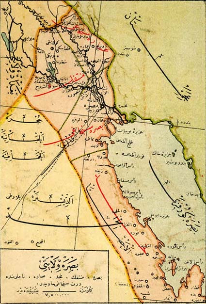
Vilayet of Basra, early 20th century
1918 · Wikimedia Commons

خرائط الدولة السعودية التاريخية 14
1972 · Wikimedia Commons

WELLSTED(1838) p2.971 THE READ SEA
1838 · Wikimedia Commons

Südwestliches Arabien
1852 · Wikimedia Commons

Cedid Atlas (Middle East) 1803
1803 · Library of Congress

Arabian Peninsula — Memalik-i Mahruse-i Shahane-ye Mahsus Mukemmel ve Mufassal Atlas
1907 · Wikimedia Commons

Map of Arabia
1662 · Wikimedia Commons

Beirut Vilayet and Mount Lebanon Mutasarrifate — Memalik-i Mahruse-i Shahane-ye-Cropped
1907 · Wikimedia Commons