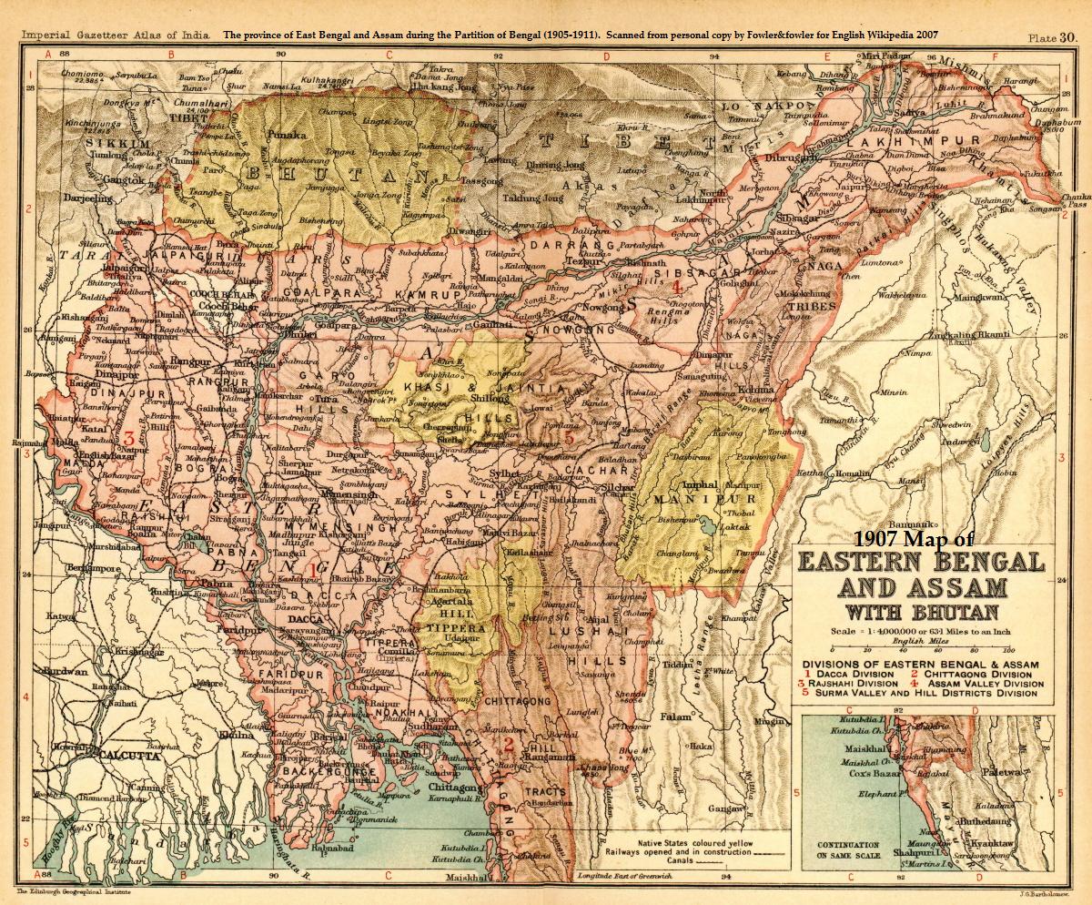

1907 Map showing East Bengal and Assam
- Date
- 1907
- Mapmaker / publisher
- Oxford University Press
- Place
- India
- Archive
- Wikimedia Commons
- Type
- map
- Original size
- 1,200 × 994 pixels
Public domainsafest
Reason: its US copyright has expired (published before 1931).
Read from: Commons licence category: PD US expired; no CC BY, CC BY-SA, GFDL or deletion tag on the file page.
Credit line
"1907 Map showing East Bengal and Assam" (1907). Oxford University Press, via Wikimedia Commons. Public domain. https://commons.wikimedia.org/wiki/File:1907-east-bengal-assam3.jpgNeed maps for a whole project? Add Find Any Map to Claude and ask for this one by its id: 242370.
More like this

Easter Bengal and Assam with Bhutan
1909 · Wikimedia Commons

Golden langur highres habitat1909
c. 1909 · Wikimedia Commons

Survey of India mapsheet 83, covers Assam and rest of Northeast India, with parts of adjoining regions of Myanmar and Bangladesh
1924 · Wikimedia Commons

1907 Nepal with part of Tibet by Survey of India-1
1907 · Wikimedia Commons

Eastern Bengal, Assam, Burmah, and parts of China and Siam 1870, with additions and corrections to 1875
1875 · Wikimedia Commons

Bengal gazetteer 1907
1907 · Wikimedia Commons

Bengal gazetteer 1907-9
1907 · Wikimedia Commons

Golden langur habitats2
1907 · Wikimedia Commons