
1877 - Ethnological map of European Turkey and Greece
- Date
- 1877
- Mapmaker / publisher
- Edward Stanford
- Place
- the Balkans
- Archive
- Wikimedia Commons
- Type
- map
- Original size
- 4,210 × 5,059 pixels
Public domainsafest
Reason: its maker died more than 70 years ago.
Read from: Commons licence category: PD-old-70-expired; no CC BY, CC BY-SA, GFDL or deletion tag on the file page.
Credit line
"1877 - Ethnological map of European Turkey and Greece" (1877). Edward Stanford, via Wikimedia Commons. Public domain. https://commons.wikimedia.org/wiki/File:1877_-_Ethnological_map_of_European_Turkey_and_Greece.tifNeed maps for a whole project? Add Find Any Map to Claude and ask for this one by its id: 297696.
More like this

1847 map - Ethnographische Karte des Osmanischen Reichs europäischen Theils und von Griechenland
1847 · Wikimedia Commons

Turkey in Europe and Greece
1870 · Wikimedia Commons

Ethnic map of Balkan peninsula, 1861, by G. Lejean (french)
1861 · Wikimedia Commons
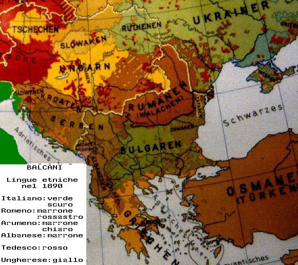
Balcani etnici 1890
1890 · Wikimedia Commons

FIELD(1885) p224 TURKEY IN EUROPE, AFTER THE WAR WITH RUSSIA
1885 · Wikimedia Commons

Hellenism in the Near East
Edward Stanford Ltd

Balkan map 1910 Adolf Marx
1910 · Wikimedia Commons

1877 - Stanford’s popular map of the seat of the Russo-Turkish War of 1877–78
1877 · Wikimedia Commons