

18世紀のモンゴル高原
- Date
- October 10, 2025
- Mapmaker / publisher
- トムル
- Place
- China
- Archive
- Wikimedia Commons
- Type
- map
- Original size
- 896 × 531 pixels
CC0safest
Reason: CC0: dedicated to the public domain.
Read from: Commons licence category: CC-Zero; no CC BY, CC BY-SA, GFDL or deletion tag on the file page.
Credit line
"18世紀のモンゴル高原" (October 10, 2025). トムル, via Wikimedia Commons. CC0. https://commons.wikimedia.org/wiki/File:18%E4%B8%96%E7%B4%80%E3%81%AE%E3%83%A2%E3%83%B3%E3%82%B4%E3%83%AB%E9%AB%98%E5%8E%9F.pngNeed maps for a whole project? Add Find Any Map to Claude and ask for this one by its id: 240798.
More like this

11世紀前半の西アジア
October 18, 2025 · Wikimedia Commons
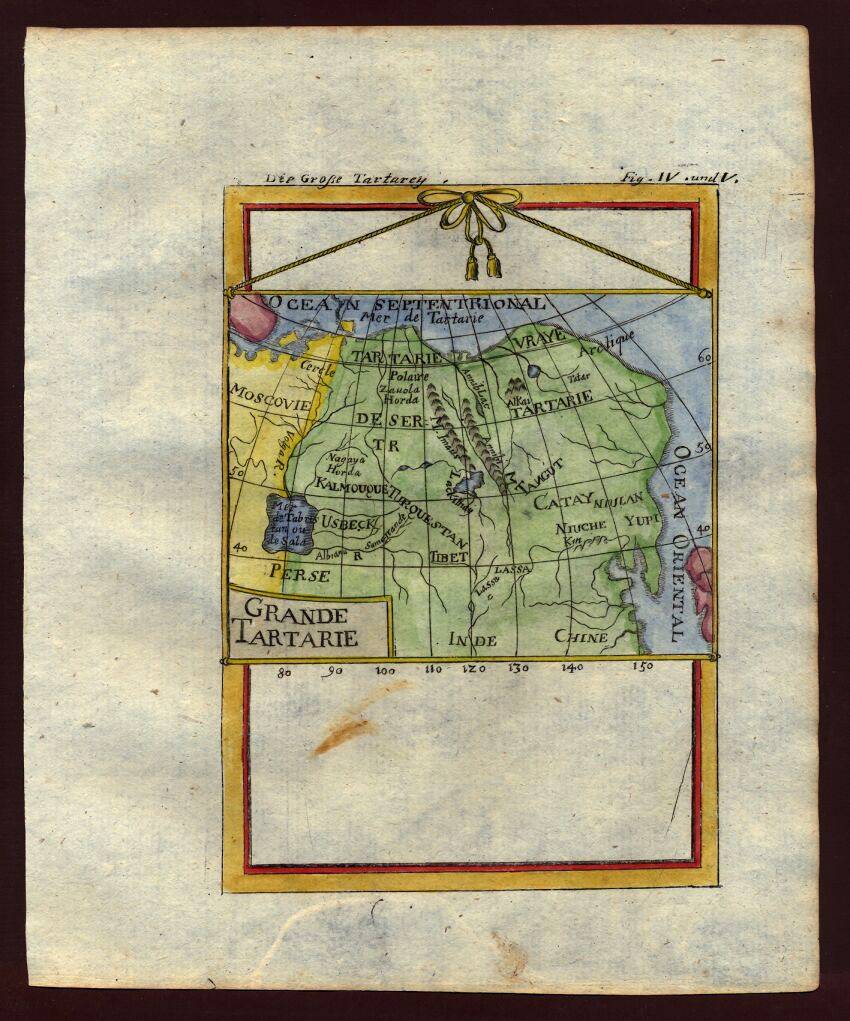
Map of Tartary (northeastern Asia) 1719
1683–1719 · Wikimedia Commons

Voyage en Mongolie
1877 · Wikimedia Commons

Map of Tartary (northeastern Asia), 1683)
1683–1719 · Wikimedia Commons

Амстердамда жарық көрген француз картасындағы хошоуыттардың қоныстану ареалы
Wikimedia Commons

Herodotus's world (Central Asia)
May 20, 2010 · Wikimedia Commons

Coastal map of China, Hai jiang yang jie xing shi tu (海疆洋界形勢圖), between 1787 and 1801 AD, from the - master-gmd-gmd7-g7822-g7822c-ct003413a
1787–1801 · Wikimedia Commons

Coastal map of China, Hai jiang yang jie xing shi tu (海疆洋界形勢圖), between 1787 and 1801 AD, from the - master-gmd-gmd7-g7822-g7822c-ct003411c
1787–1801 · Wikimedia Commons