

Свитазів (загальний план). Перша військова карта (1779-1783)
- Date
- 1779
- Archive
- Wikimedia Commons
- Type
- map
- Original size
- 1,185 × 650 pixels
Public domainsafest
Reason: its maker died more than 100 years ago.
Read from: Commons licence category: PD-old-100-expired; no CC BY, CC BY-SA, GFDL or deletion tag on the file page.
Credit line
"Свитазів (загальний план). Перша військова карта (1779-1783)" (1779). Wikimedia Commons. Public domain. https://commons.wikimedia.org/wiki/File:%D0%A1%D0%B2%D0%B8%D1%82%D0%B0%D0%B7%D1%96%D0%B2_(%D0%B7%D0%B0%D0%B3%D0%B0%D0%BB%D1%8C%D0%BD%D0%B8%D0%B9_%D0%BF%D0%BB%D0%B0%D0%BD)._%D0%9F%D0%B5%D1%80%D1%88%D0%B0_%D0%B2%D1%96%D0%B9%D1%81%D1%8C%D0%BA%D0%BE%D0%B2%D0%B0_%D0%BA%D0%B0%D1%80%D1%82%D0%B0_(1779-1783).jpgNeed maps for a whole project? Add Find Any Map to Claude and ask for this one by its id: 254141.
More like this
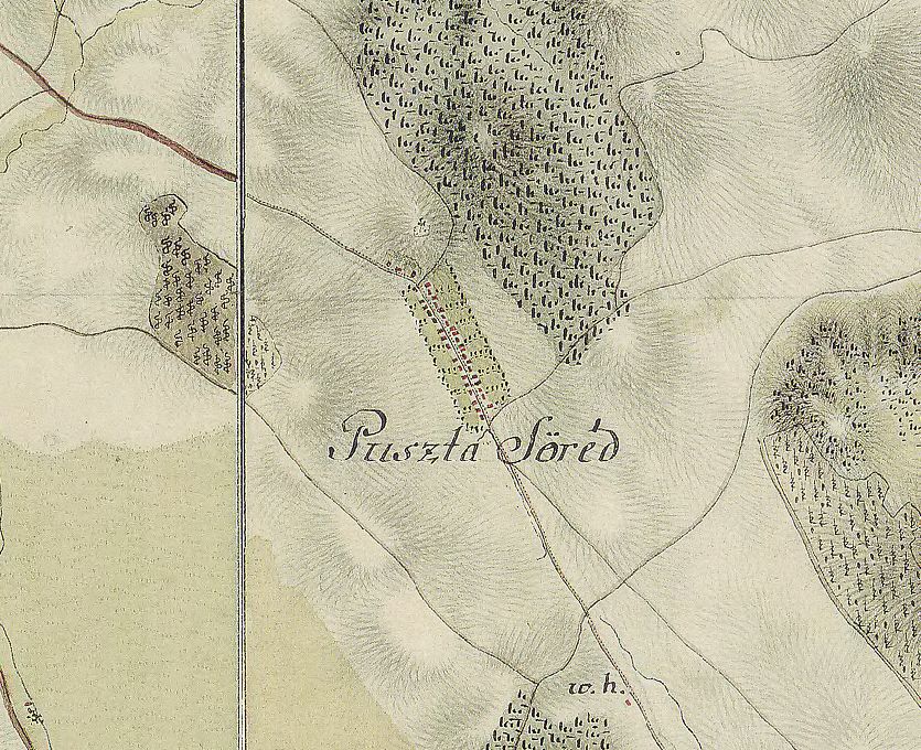
The map of Söréd from the first Military Mapping Survey of Austria Empire.
Wikimedia Commons

Ujvar First Military Survey 1782-1785
1782–1785 · Wikimedia Commons

The map of Sukoró from the first Military Mapping Survey of Austria Empire.
Wikimedia Commons

Josephinische Landesaufnahme 098 Preitenegg detail planimetry
1764–1787 · Wikimedia Commons

Pata, stará mapa, 18. stor
Wikimedia Commons

September 1789 Austrian forces deployment near Ciorasti
1790 · Wikimedia Commons

The map of Seregélyes from the first Military Mapping Survey of Austria Empire.
Wikimedia Commons

Svarytsevychi, 1915, map
1915 · Wikimedia Commons