

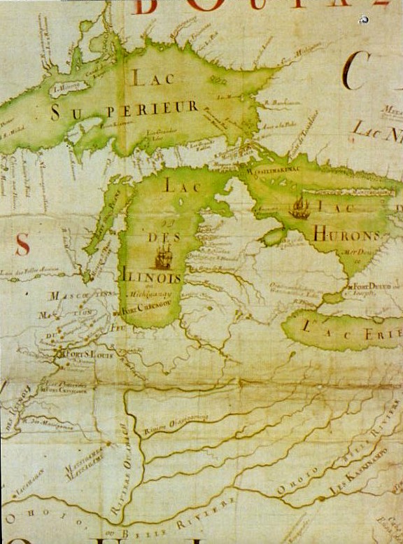
1718 Carte de la Louisiane - Ouabache detail
Detail of an 1718 Map of North America
- Date
- 1718
- Place
- New France
- Archive
- Wikimedia Commons
- Type
- map
- Original size
- 1,984 × 1,488 pixels
Public domainsafest
Reason: its maker died more than 100 years ago.
Read from: Commons licence category: PD-old-100-expired; no CC BY, CC BY-SA, GFDL or deletion tag on the file page.
Credit line
"1718 Carte de la Louisiane - Ouabache detail" (1718). Wikimedia Commons. Public domain. https://commons.wikimedia.org/wiki/File:1718_Carte_de_la_Louisiane_-_Ouabache_detail.jpgNeed maps for a whole project? Add Find Any Map to Claude and ask for this one by its id: 295526.
More like this

La Rivière de Missisipi - 1715 - Nicolas de Fer 1646-1720
1715 · Wikimedia Commons

Carte de la decouverte faite l'an 1673 dans l'Amerique Septentrionale
January 2, 1673 · Wikimedia Commons

La France Occidentale Dans l Amérique Septentrionale
1718 · Wikimedia Commons
Amerique Septentrionale JBF 1688-detail
1688 · Wikimedia Commons

Atlas ou recüeil de cartes geographiques, dressées sur les nouvelles observations de M essieu rs de l'Academie Royale des Sciences, par N. de Fer geographe de sa Majesté Catolique et Monseigneur le Dauphin
1709–1725 · Louisiana, plate 298 of 328

Rivière de Cataracoui ou des Iroquois
1782 · Wikimedia Commons

Carte de la Louisiane et du cours du Mississippi.
1718 · Library of Congress

Carte de la Louisiane et du cours du Mississipi (i.e. Mississippi)- dressée sur un grand nombre de mémoires entrautres sur ceux de Mr. le Maire
1718 · Library of Congress