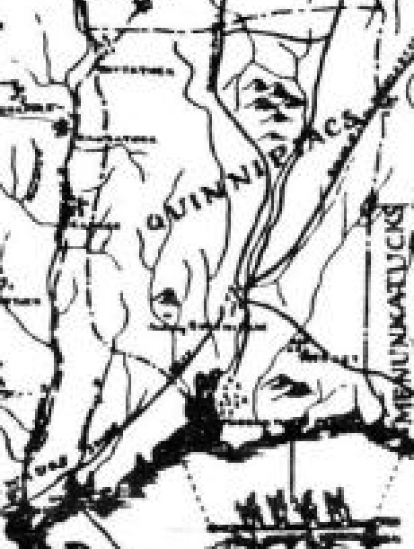

1625 quinnmap
Detail of a map circa 1625 showing Quinnipiac territory in what is now the northeastern United States.
- Date
- 1625
- Place
- the United States
- Archive
- Wikimedia Commons
- Type
- map
- Original size
- 461 × 611 pixels
Public domain
Reason: its maker died long enough ago that the copyright has expired.
This status rests on the map's publication history, as researched by Wikimedia Commons. Check it before commercial use.
Read from: Commons licence category: PD Old; no CC BY, CC BY-SA, GFDL or deletion tag on the file page.
Credit line
"1625 quinnmap" (1625). Wikimedia Commons. Public domain. https://commons.wikimedia.org/wiki/File:1625_quinnmap.jpgNeed maps for a whole project? Add Find Any Map to Claude and ask for this one by its id: 296026.
More like this

Tribal territory of Mascouten about 1650
January 27, 2013 · Wikimedia Commons

Virgin Forest in United States, 1620
1925 · Wikimedia Commons

De Laet-Gerritsz Map
1625–1630 · Wikimedia Commons

drawing, print study, map
1585–1593 · Wikimedia Commons

A new map of New England, New York, New Iarsey, Pensilvania, Maryland, and Virginia. NYPL484194
1715–1720 · New York Public Library

Nieuw Nederland
April 30, 2006 · Wikimedia Commons

C. 1613-1760 English Colonies in North America (New England)
c. 1911 · Wikimedia Commons

Map of Portuguese Cochin
1620–1640 · Wikimedia Commons