

10May 16May Battle of Belgium
The German advance between 10 May and 16 May 1940. The red area denotes the territory captured by Germany during this time. The German field armies and Corps are shown in red. The red plan icon indicates the German airborne attack on the Belgian fortress of Eben-Emael. The operating area of the various Belgian, British, and French field armies and Army groups are shown in blue. The checkered white and blue area denotes the French Maginot Line. The commanders of the various units are shown under their respective formation. Solid lines represent the boundaries between each major unit. Dotted lines depict lines of advance. Key dates are shown in boxes.
- Date
- 2009
- Mapmaker / publisher
- The History Department of the United States Military Academy
- Place
- Fall Gelb
- Archive
- Wikimedia Commons
- Type
- map
- Original size
- 891 × 689 pixels
Public domainsafest
Reason: a US government work (US Army).
Read from: Commons licence category: PD US Army; no CC BY, CC BY-SA, GFDL or deletion tag on the file page.
Credit line
"10May 16May Battle of Belgium" (2009). The History Department of the United States Military Academy, via Wikimedia Commons. Public domain. https://commons.wikimedia.org/wiki/File:10May_16May_Battle_of_Belgium.PNGNeed maps for a whole project? Add Find Any Map to Claude and ask for this one by its id: 23485.
More like this

16May-21May Battle of Belgium
2009 · Wikimedia Commons

German offensive in Belgium at 1940 (World war II.)
1940 · Wikimedia Commons

21May-4June Battle of Belgium
2009 · Wikimedia Commons

21May-4June1940-Fall Gelb
1940 · Wikimedia Commons

10May-16May1940-Fall Gelb
2004 · Wikimedia Commons

Ww2 map10
1940 · Wikimedia Commons

Ww2 map09
Wikimedia Commons
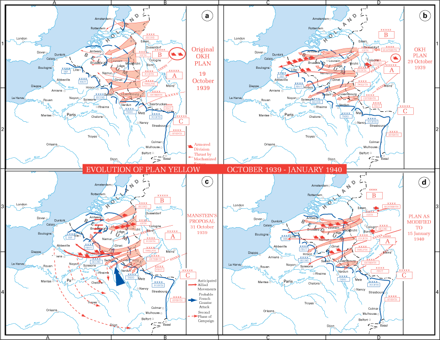
Evolution of Plan Yellow
1939 · Wikimedia Commons