

02B Map of route in Costa Rica and Panama
USACE-p15141coll5-680
Map of construction of the Inter-American Highway in Costa Rica and Panama
- Date
- 1940–1943
- Place
- Costa Rica
- Archive
- Wikimedia Commons
- Type
- map
- Original size
- 5,998 × 3,926 pixels
Public domainsafest
Reason: a US government work (US Army).
Read from: Commons licence category: PD US Army USACE; no CC BY, CC BY-SA, GFDL or deletion tag on the file page.
Credit line
"02B Map of route in Costa Rica and Panama" (1940–1943). Wikimedia Commons. Public domain. https://commons.wikimedia.org/wiki/File:02B_Map_of_route_in_Costa_Rica_and_Panama_-_USACE-p15141coll5-680.jpegNeed maps for a whole project? Add Find Any Map to Claude and ask for this one by its id: 294294.
More like this

02A Map of route in Central America
1940–1943 · USACE-p15141coll5-678

Costa Rica
1890–1902 · Wikimedia Commons

Costa Rica - from Official and Other Sources
1903 · Wikimedia Commons
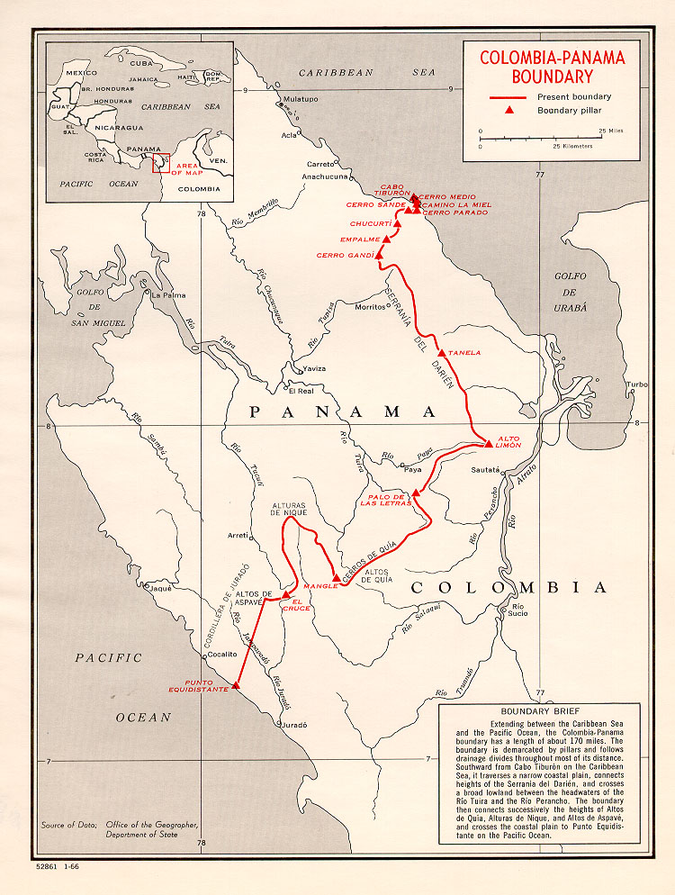
Colombia-Panama border map
January 30, 1960 · Wikimedia Commons

Map showing line of proposed lock canal with summit elevation at 85 feet - (Panama Canal)
1906 · Library of Congress

Costa Rica - Panama and the Canal zone: roads
1945 · Wikimedia Commons

Pan American Highway
1946 · U.S. National Archives

Costa Rica Roads and Railroads
1946 · U.S. National Archives